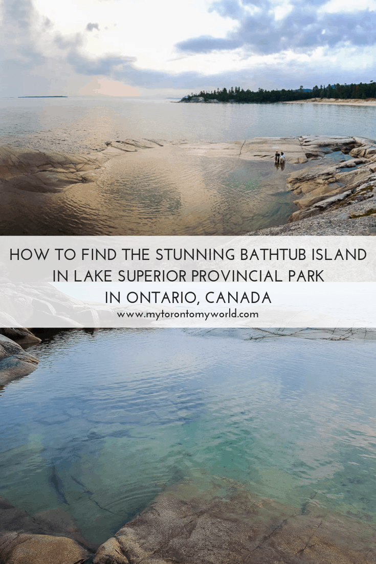
Lake Superior Provincial Park in mid-Ontario is one of the biggest provincial parks in the province covering 1550 square kilometers. It’s located along the shore of Lake Superior (duh right?) between St. Sault Marie and Wawa. Highway 17 runs straight through the park so if you’re heading even further north you get to drive through some of this fantastic landscape on your way! For perspective on distance, Lake Superior Provincial Park is located almost 10 hours north of Toronto. It’s a fantastic park though and definitely worth the road trip during a long weekend. Lake Superior Provincial Park contains many gems but one stands out the most as being naturally unique and that is Bathtub Island. It’s a natural island in the lake and the best part is that it’s accessible through a hike!
How to Get to Bathtub Island
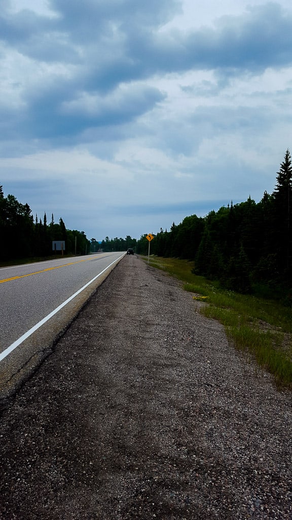
There are two different ways to get to Bathtub Island of which one is harder (take the coastal trail) and the other one is easy (walk along the highway and find the alternative entrance). Plenty of people park on the highway shoulders to park closer to the alternative entrance but it is illegal to park on highway shoulders in this area and a few people have been ticketed for doing so.
I listed “hard” as the route first because it’s really gratifying to take a dip in the “bathtub” after the more difficult hike. My suggestion is to take the hard trail going there, and go back to your parked car at Katherine Cove via the “easy” way. Of course, if time is limited, then just take the “easy” route to and fro!
If you have Google Maps on your phone, then you’ll notice that this island is not “mapped out” in the app. But, the park’s map will show you its location roughly. Or, just punch these coordinates into your Google Maps: 47°26’10.9″N 84°44’46.4″W.
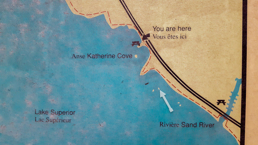
The Hard Way (Katherine Cove):
This is the safest way in terms of avoiding parking tickets. The authorities have become more dilligent in ticketing cars that are illegally parked on the shoulders of the highway. Do it at your own risk.
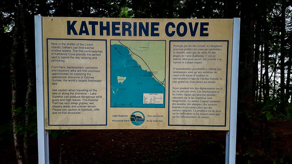
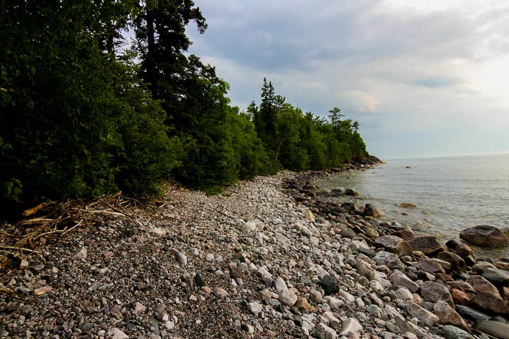
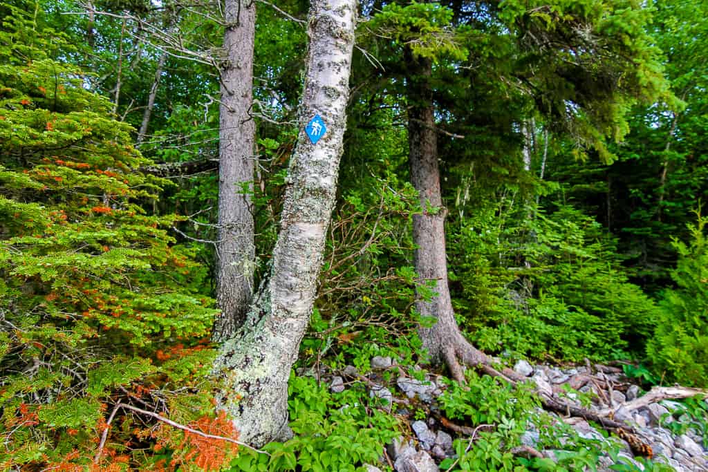
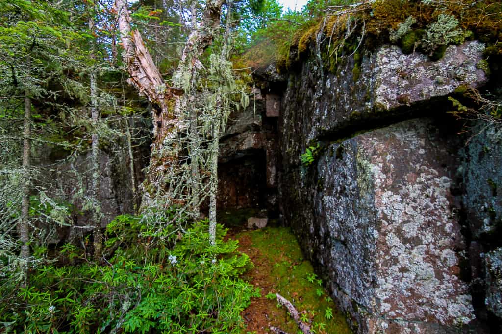
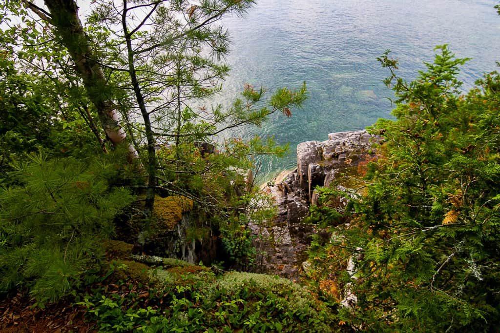
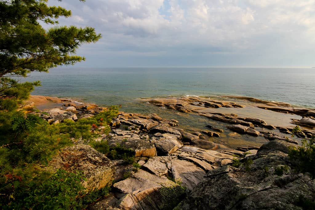
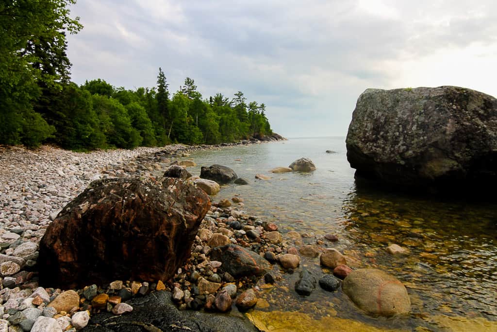
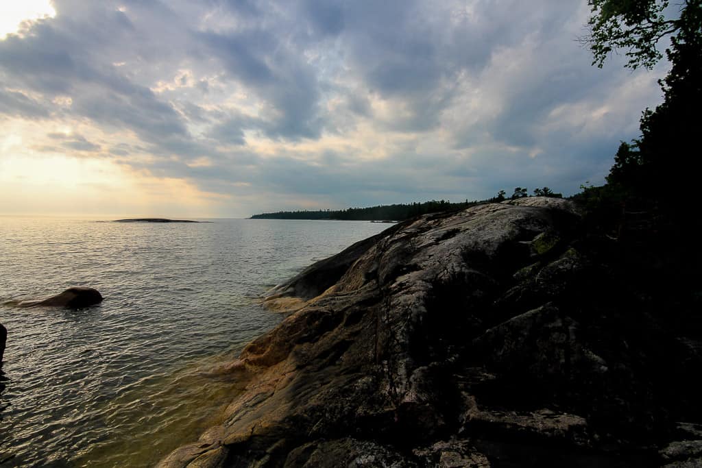
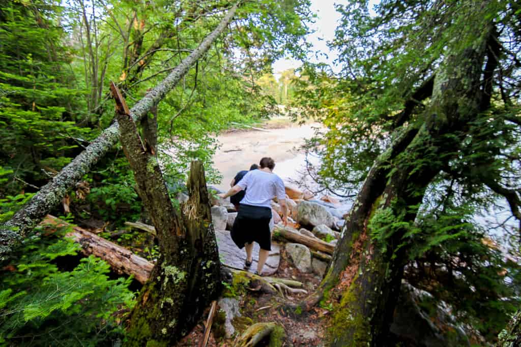
The trail head is part of the Coastal Trail, and can be found in the Katherine Cove Day-use area at south-end of the cove. Wear comfortable shoes, preferrably water shoes — the trail is short, but demanding and dirty, but the reward is worth it.
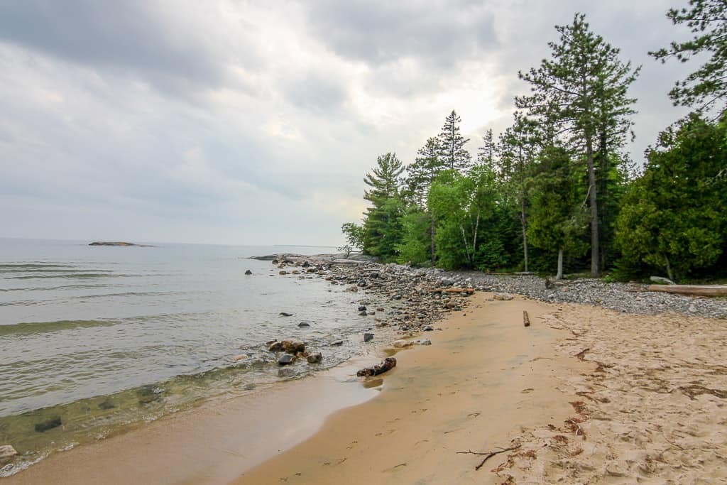
The Easy Way (The Alternative Entrance):
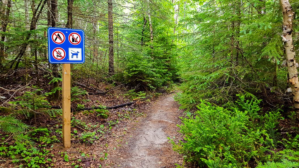
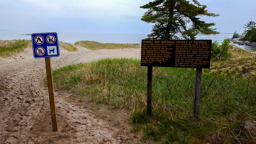
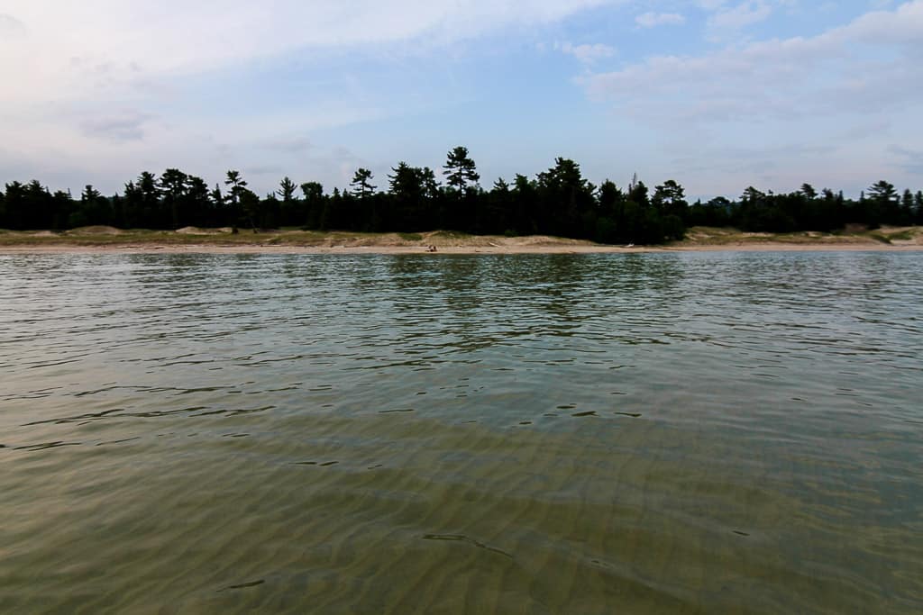
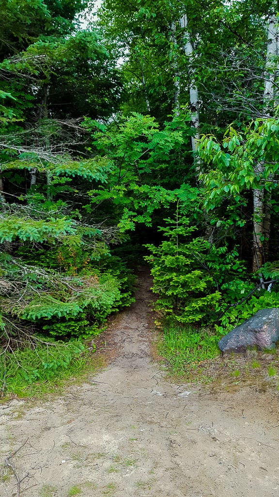
This entrance is not clearly marked anywhere, by any signs. So, here’s the exact spot: 47°26’25.4″N 84°44’45.9″W. From there, walk through a little bit of forestry and you’ll eventually come across the sand dunes (as denoted by a pictorial signage). Even when walking on the sand dunes, be very mindful of where you’re walking — keep on an existing trail and don’t wonder off. This is because the plants that are growing out of the sand are there to make smooth transition into land. For more info, have a read on this (teach others!).
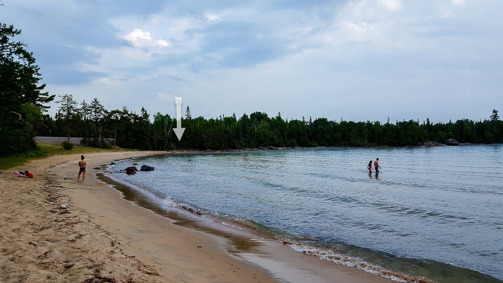
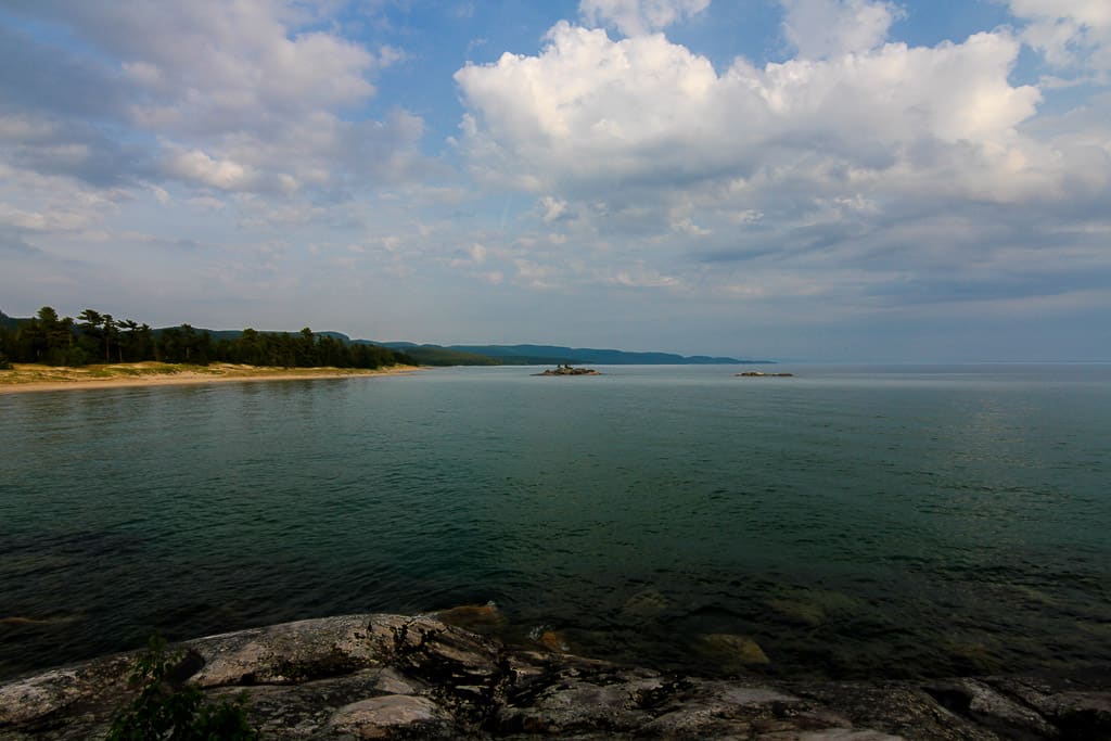
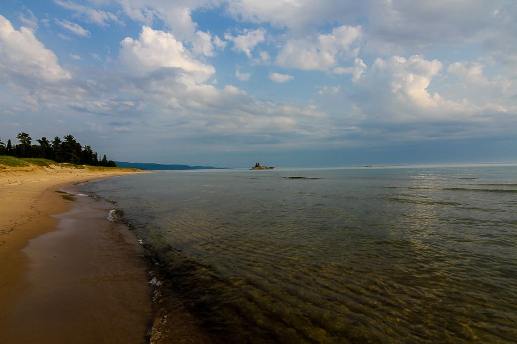
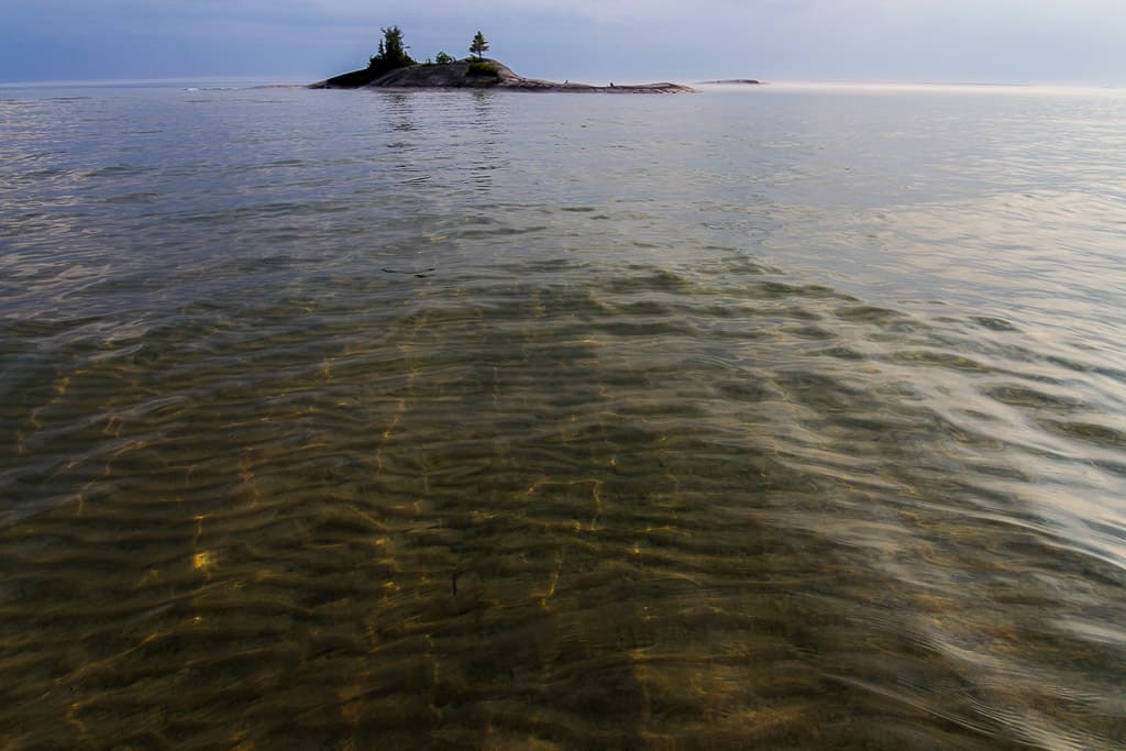
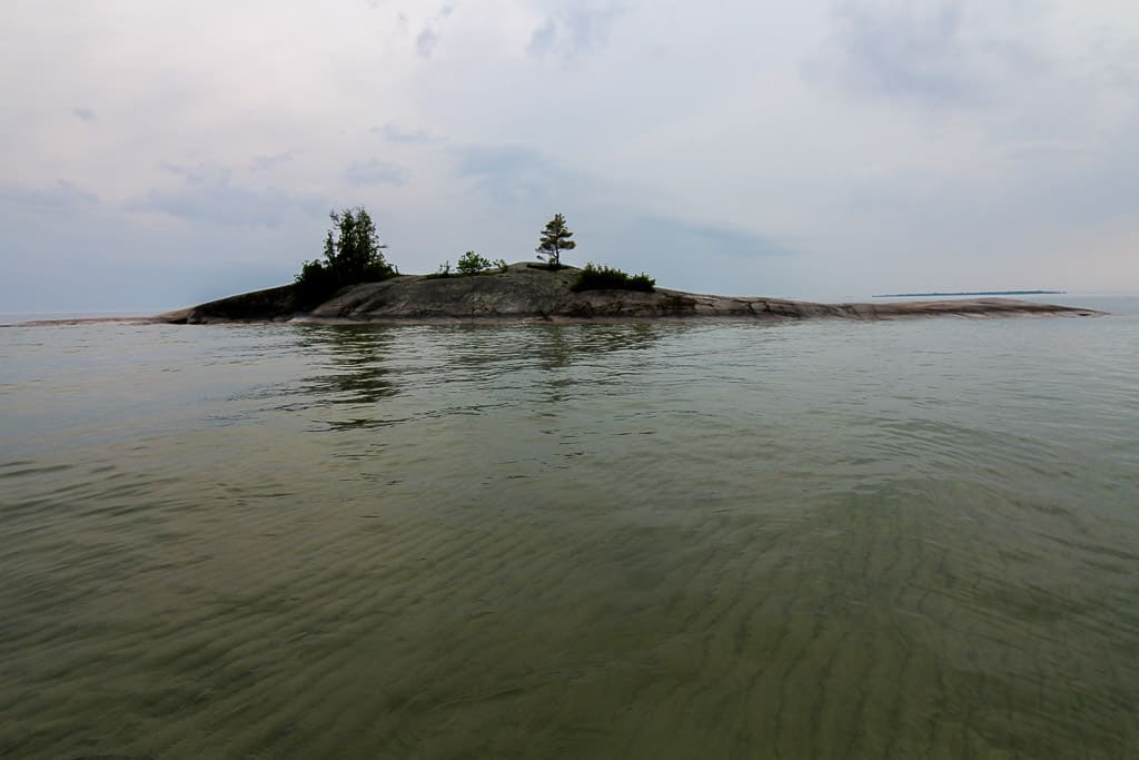
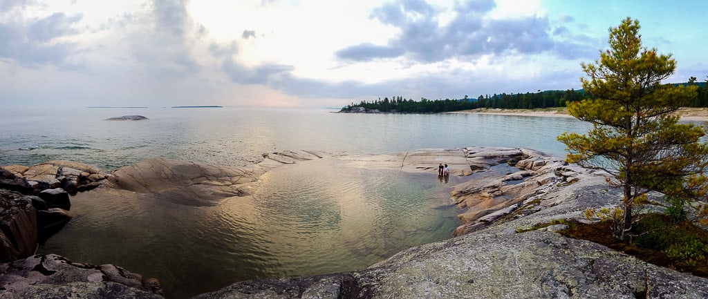
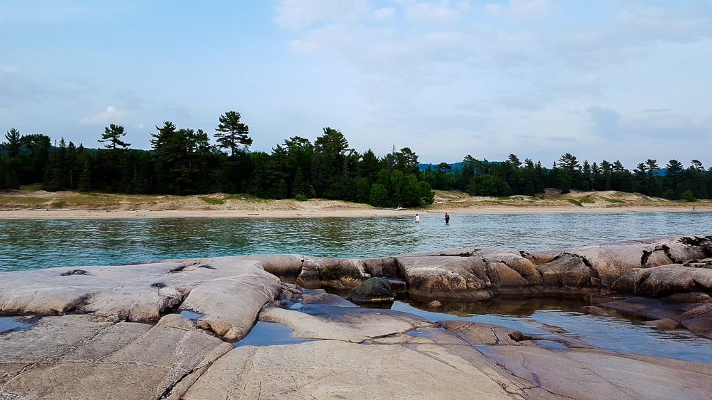
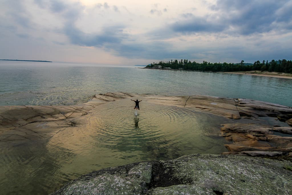
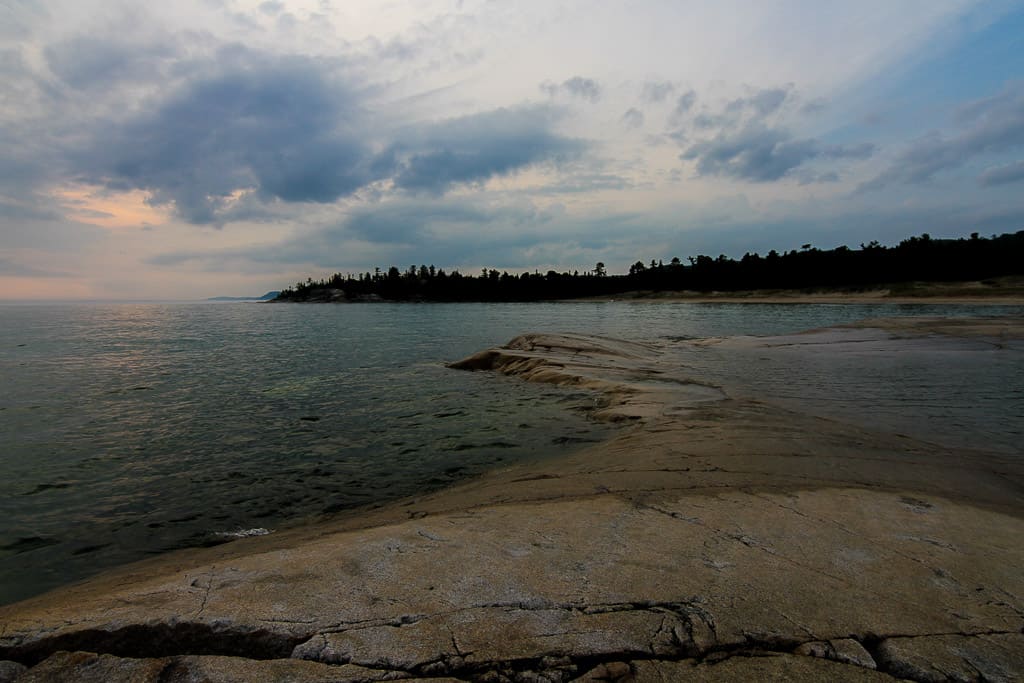
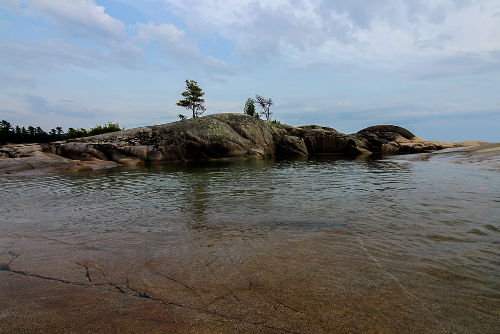
From the sand dunes, it’s all pretty intuitive on how to get to the Bathtub Island. You’ll see two islands in the distance; it’s the one closest to shore. You won’t see the “bathtub” itself until you stand on the island itself, so don’t be discouraged at first.
The Sandbar:
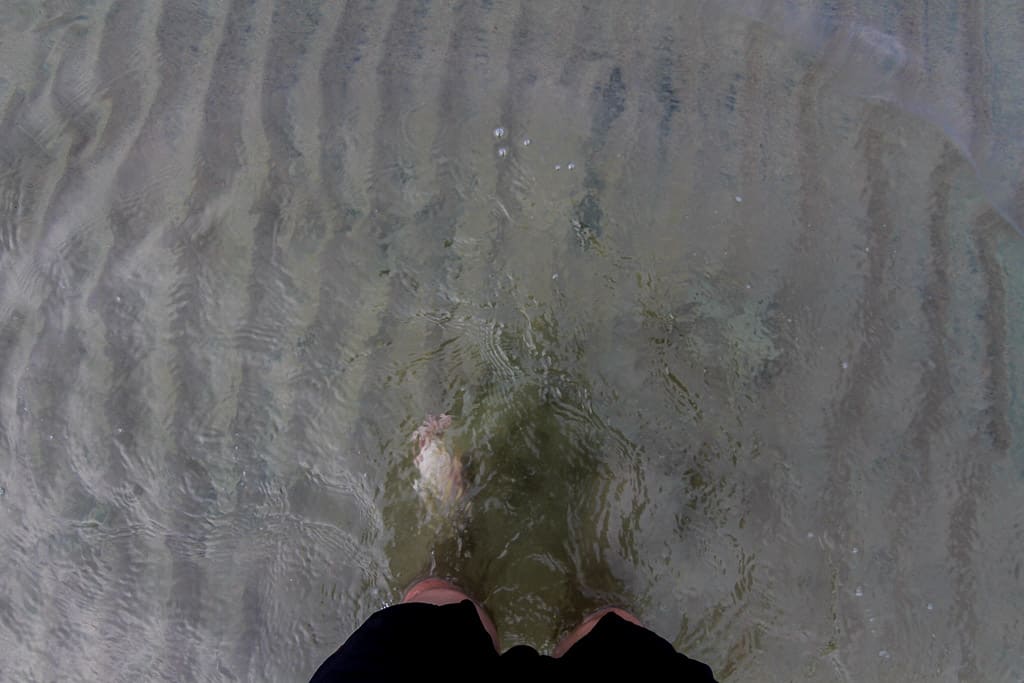
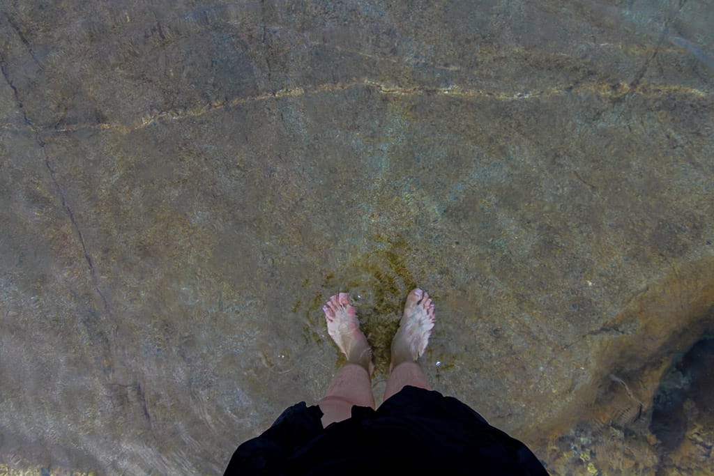
At the shore, look down. You’ll see that the “bottom” of the water is actually really shallow with more sand. This sandbar is where you’ll begin your walk to the island. Wear clothes that you don’t mind being wet. The water will reach up to your belly button, depending on your height and the sand-bottom path trajectory you take going to the island. I carried a backpack and my DSLR by lifting them over my head.
The Bathtub Island:
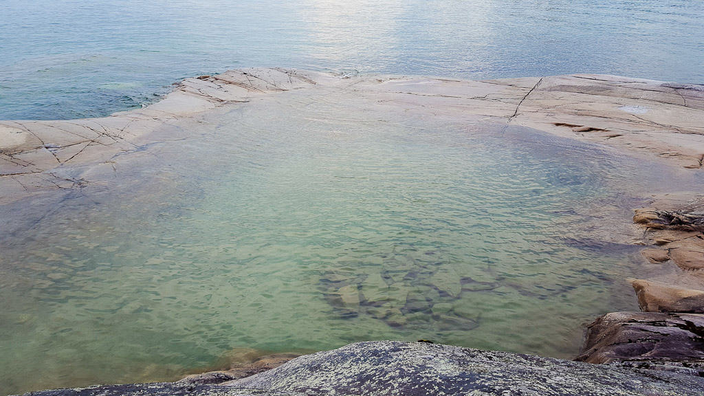
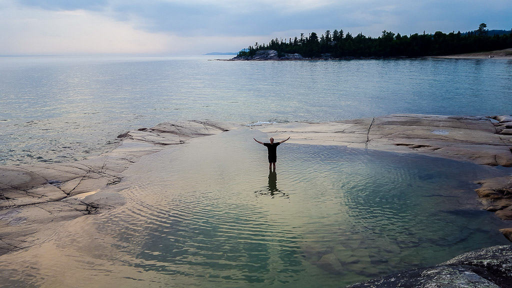
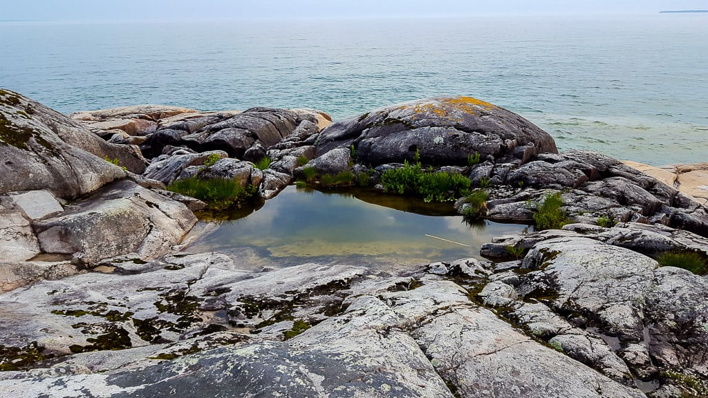
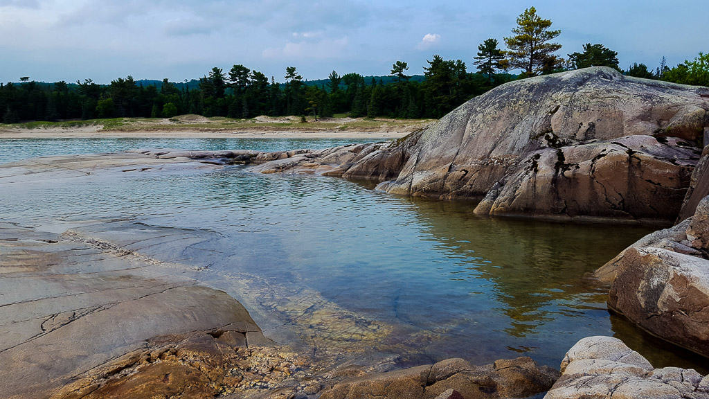
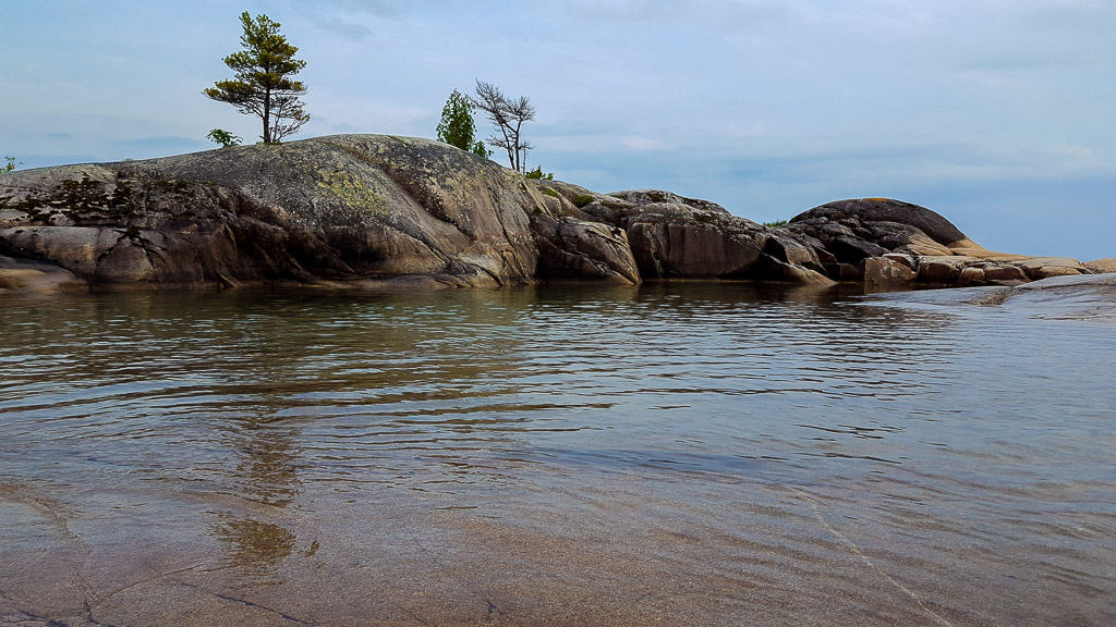
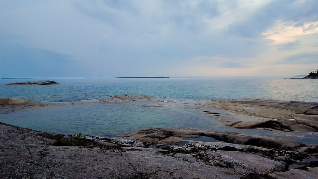
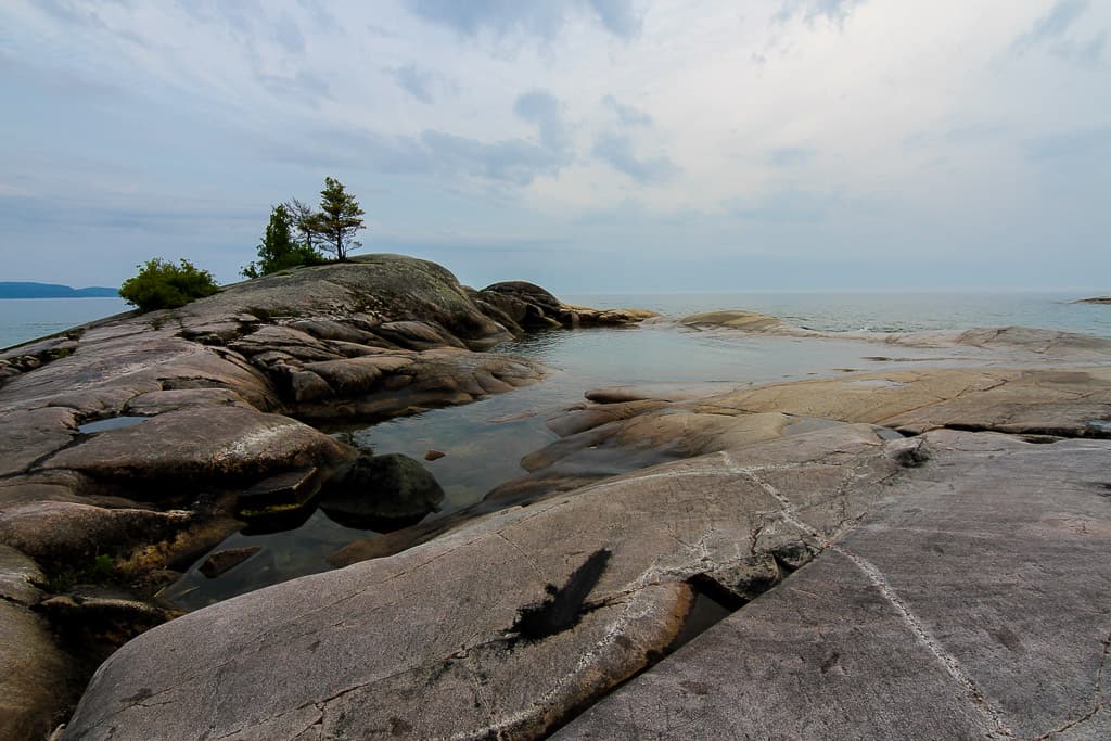
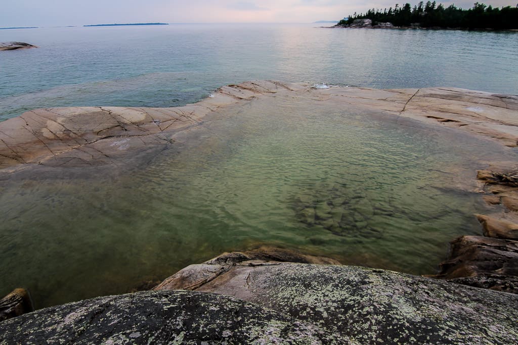
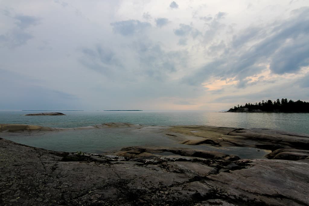
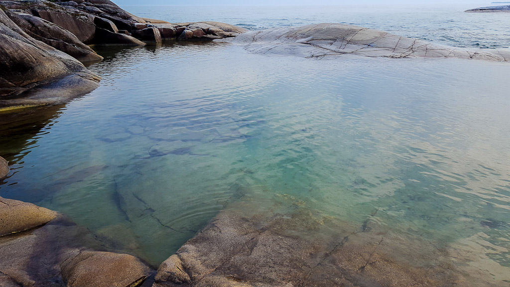
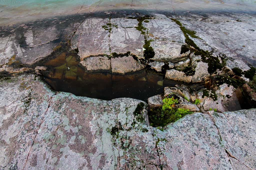
Once you’re on the island, pat yourself in the back, jump around! When you enter the “bathtub”, be cautious, it’s very slippery. My friend fell and hurt his wrist. I also fell, but not into the “bathtub”, but into a water hole, and I landed on my tailbone, and it was pain for days. Be careful of these, too.
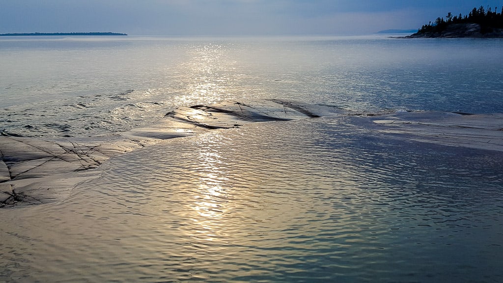
After you’ve acclimated to the small island, take pictures! Make sure to get you and the “bathtub” in the picture. Take it in, enjoy the cool after a hot hike. Make new friends if they are there. Watch the sunset, if you can!
Things to Bring:
You want to make sure to be prepared for the hike so the following is a list of suggested items to bring with you but it’s of course not an exhaustive list:
- Water shoes
- Water bottles
- Change of clothes
- Towel
- Backpack
- Camera
- Phone with waterproof case or ziploc
- Friends
Other Things to do in the Area:
Aside from toweling off and drying off, there are other interesting locations in the park.
- Drive over to Agawa Rock Pictographs and find the newest Pokemon — it’s really one of 35 red ochre images that are visible on the rocks, only accessible when the lake water is calm
- Participate in some water activities
Have you been to Lake Superior Provincial Park? Did you get a chance to check out Bathtub Island? What were your thoughts? Let me know in the comments and pin this post for your upcoming visit!
 |
 |
 |
I read your article and enjoyed it. I’ve been there numerous times and I wish people would stop hearing about it. It’s getting way too crowded.
I have one beef. You can’t spell SAULT STE. MARIE!
Author
Haha spelling isn’t the strongest skill but will fix it up!
I agree with this! I grew up in Marathon on the shores of superior and not everyone respects the prestine landscape and litters with trash. These hidden jems should stay hidden!
Author
While I understand where you’re coming from, the place is getting talked about by much, much bigger platforms than mine so it’s being shared regardless.
It’s amazing beautiful pictures and views ?? I wanna goooo omg never thought about noces places as this in our beautiful country ? thank you for putting all theses pictures and details
Thank you for that amazing post. I will do that trip this summer. Form Montreal.
I want to be surrounded by water tout relax and meditation.